
Demand Analysis
Point cloud data acquisition in no-fly zone, hazard ranging and terrain change identification in outer breakage prone area, tree obstacle altimetry in tree line contradiction area, and high-precision contactless monitoring of arc droop.
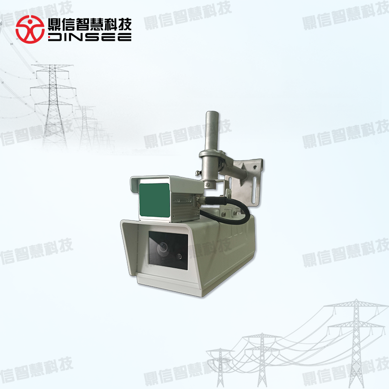
Working Principle
Intelligent LiDAR point cloud monitoring device for power transmission lines adopts the integrated design structure of gun and LiDAR, incorporating non-repeating scanning LiDAR sensors, and designing LiDAR real-time three-dimensional reconfiguration of power transmission hazard ranging device and visualization and warning system through the integration of integrated device integration technology, multi-sensor data fusion technology, and intelligent management technology of big data platform to solve the problems of power transmission channel vehicles, tree growth, terrain changes and conductor arc sag and so on. It solves the difficulties of integrated monitoring of hidden dangers such as vehicles, tree growth, terrain changes and wire sag, and realizes three-dimensional reconstruction of the field of view of transmission channel, refinement of transmission hidden dangers and visualization of early warning management.
Demand Analysis
1、Multi-light fusion, multi-dimensional analysis: universal light, night vision, LIDAR integrated design, visible light + laser side-end fusion analysis, external breakage of hidden danger target ranging and grading alarm, tree obstacle identification, arc-drop monitoring, terrain change identification.
Droop monitoring, terrain change identification;
2、Side-end scanning, real scene correction: the equipment carries LIDAR scanning the current scene regularly, comparing the historical scene 3D information, and correcting the current scene 3D information to ensure the accuracy of 3D modeling;
3、three-dimensional fusion, high-precision ranging: based on the current scene point cloud data to establish a three-dimensional model, combined with the two-dimensional pictures captured by the equipment, fusion calibration, in the discovery of hidden dangers at the same time measuring the distance of hidden dangers, so that the hidden dangers are visualized.
The hidden danger can be visualized.
4、Exterior breakage prone area - hidden danger distance measurement and terrain change identification: for cranes, excavators, bulldozers, pumps and piling rigs and other types of construction vehicles, first realize the accurate identification of visible images, and then according to the collected LiDAR point cloud data.
The collected LIDAR point cloud data can be used to measure the distance in three-dimensional space and provide graded alarms. After recognizing the hidden danger by visible light, it can link the point cloud gun machine LIDAR to trigger scanning and compare with the historical point cloud data to realize the terrain change.
Do comparison, realize the effective judgment of terrain change.
5、tree line contradiction area - tree barrier height measurement: the use of point cloud gun machine LiDAR scanning channel point cloud, real-time update point cloud data, the key part of the tree from the conductor distance real-time measurement, to grasp the site of tree growth on the conductor, and the height of the tree.
To grasp the impact of tree growth on the conductor at the site.
6、arc sag key monitoring area - high-precision monitoring, no need for power outages, simplify the installation: through the point cloud gun LiDAR acquisition of wire data, do data modeling, combined with both sides of the wire arc height data, to achieve the distance to ground and the arc sag distance.
High-precision calculation of the distance to the ground and the arc distance. After comparing with the point cloud data of UAV, the precision of point cloud gun machine far exceeds the precision of the sensor program for arc dip measurement.